Kayak, canoe and paddleboard: planning an outing on the water
GPX Edit Pro's routing also follows rivers, and follows the coast where there are no more paths. With the spot weather and the tide, everything is prepared in one place.
Go down a river
In the "Create a route" window, the 🛶 Waterway profile follows navigable rivers, canals and channels — not streams or ditches. Place a start and a finish: the window shows the distance, the detected direction (downstream or upstream) and an estimated duration by kayak.
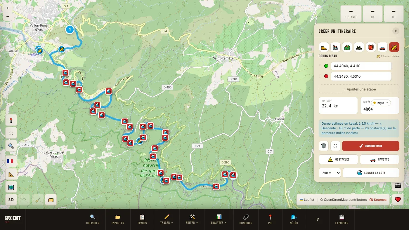
- ⚠️ Hazards finds the mapped weirs, dams, locks, rapids, waterfalls and portages along the route. "No mapped hazards" does not mean there are none.
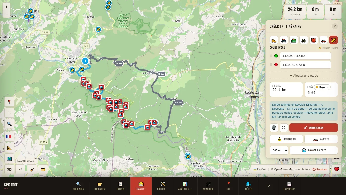
- 🚗 Shuttle works out the return trip by car between the finish and the start, and adds it as a grey track.
Follow the coast
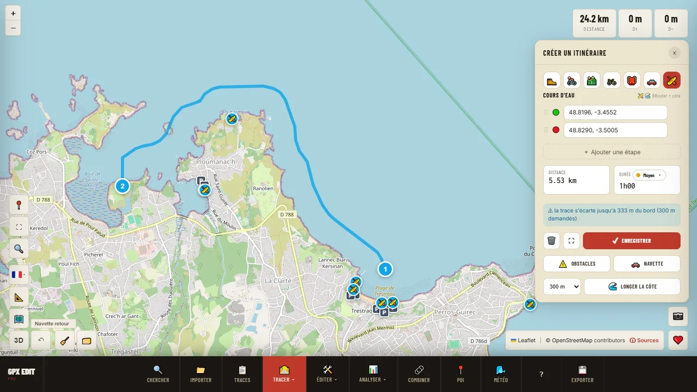
At sea, there are no paths: the 🌊 Follow the coast button builds a track that follows the coastline 150 or 300 m from the shore. Zoom in on the area: slipways, ramps and landing stages appear, with the nearest car park.
Wind and tide
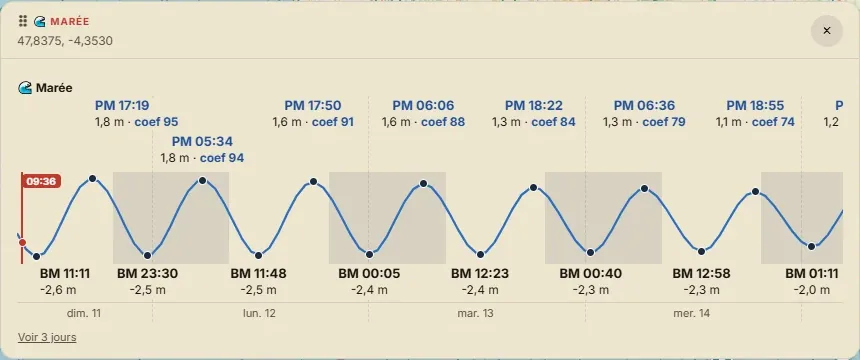
The weather map gives the hour-by-hour forecast for a point, with a brown dot when the wind comes from the land: the wind that carries you away from the shore. Below the forecast, the tide and its coefficient; and with a right-click near the coast, Tide here. The Sea kayaking and Paddleboarding presets show the next window that suits you.
Going further
It is a planning tool. It knows nothing about the flow, the state of the river or nautical hazards, and it does not navigate offshore. The marine forecast and the state of the water remain your responsibility.
Draw your next outing on the water.
Open the editor for free →